


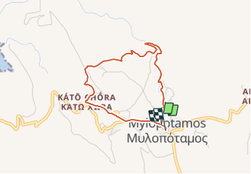

7,7 km | 9,1 km-effort

Tous les sentiers balisés d’Europe GUIDE+


Kostenlosegpshiking-Anwendung
 SityTrail
IGN / Geografische Institute
SityTrail World
Die Welt öffnet sich für Sie
Tour Zu Fuß von 4 km verfügbar auf Attika, Regionalbezirk Inseln, Δημοτική Ενότητα Κυθήρων. Diese Tour wird von SityTrail - itinéraires balisés pédestres vorgeschlagen.
Trail created by Kythera Hiking.
Symbol: blue-white bars
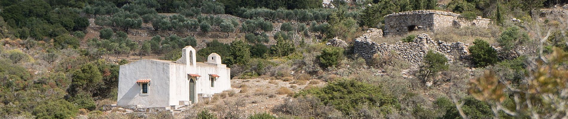
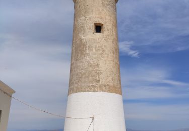
 - Photo 1")
 - Photo 2")
 - Photo 3")
 - Photo 4")
 - Photo 5")
 - Photo 6")
 - Photo 7")
 - Photo 8")
 - Photo 9")
 - Photo 10")
Wandern